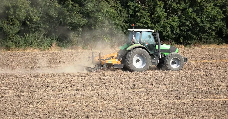









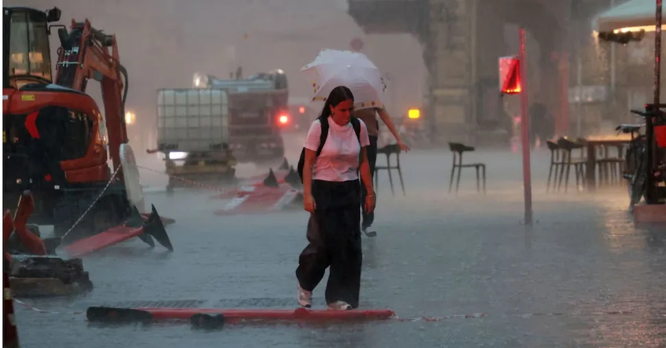
Storms, cool currents and temperatures dropping by 10 degrees: the heatwave is numbered. As reported by 3bmeteo.com, the African high pressure, which has affected Italy in the last 30 days, will start to retreat from next week, pushed by currents coming directly from the Arctic. Temperatures should then remain around the seasonal average at least until early August.
Read more Price increases for a day at the water park nearly 300 euros per family
Ask the Sun
The questions are automatically suggested by 24Ore AI
based on the displayed content.
Starting from the North
“The African anticyclone – explains meteorologist Edoardo Ferrara – is already beginning to weaken in the North, where local showers or storms are expected by Sunday especially between eastern Lombardy, Triveneto and partly in Emilia, sometimes of strong intensity. Elsewhere still lots of sun and intense heat with peaks over 40°C in the South and on the Islands; a few degrees less in the Center and generally along the coasts but with high humidity.”
Read more Port in storm: the US diplomat’s yacht irritates Italy
Currents from the Arctic
“But it will be in the new week that the African anticyclone will actually retreat southward under the push of cooler currents descending directly from the Arctic – warns Ferrara -, the contrast with the very hot and humid pre-existing air could however favor very intense storms, associated with hailstorms sometimes of large size, cloudbursts and violent gusts of wind. The areas to watch will be in particular Trentino Alto Adige, Veneto, Friuli Venezia Giulia, Lombardy and Emilia Romagna, from Tuesday also inland Tuscany, Umbria, Marche, Abruzzo, Molise and upper Puglia. In the second part of the week the southern peninsula will be more involved, while the Islands, Tyrrhenian side and the Northwest will be in a more marginal position.”
Read more Salvini visits Roggero in Bollate: political support and possible candidacy for the jeweler …